
Union Neighbors Source Check
Public material can describe the shape and history of the immediate block around a Union address. It does not authorize an adjacency list of private people. A parcel layer shows land geometry and identifiers. A deed index identifies recorded transfers. A historical directory or map may describe an earlier street arrangement. Civic layers place the block in a ward, district, or polling context. Keep those results in separate columns rather than treating any one source as a current household roster.
Start with the subject parcel, retain its map date, and identify the question before moving outward. Is the goal to understand adjoining lot geometry, a subdivision’s age, the civic boundary, or a dated transfer? The access route changes with the question. State-hosted parcel products can redact owner names under Daniel’s Law, and a blank name is a privacy control rather than a research defect.
| Block source | What it shows about a Union block | Access |
|---|---|---|
| Union County Public Map Service | Parcels, blocks and lots, roads, wards, districts, polls, and zoning. | Public map-service layers. |
| Union NJGIN Property Explorer | Address, county, municipality, block, and lot routes to the Union subject parcel. | Dynamic statewide viewer; live result fields need current visual confirmation. |
| Union property transparency data | Annual Union block/lot, assessment, classification, and possible public owner context. | Statewide annual-data interface with timing limits. |
| Union County Clerk land index | Recorded Union conveyance trail for a subject or selected adjoining lot. | Online from June 1, 1977; Record Room from 1857. |
| Union Public Library maps and directories | Historic Union street, subdivision, lot-layout, and dated household leads. | Free scans with uneven directory years and item-level checking. |
Note: A parcel’s edge shows adjacency, but it does not show a social relationship or a present resident.
Map Union Neighbor Parcels
Use a simple Union block flow: address to subject parcel, subject parcel to municipality and block/lot, block/lot to surrounding geometry, then a dated recorded source only if it answers a defined question. The process stops short of publishing names. It can identify Union places that touch, Union public roads that divide them, and the map date that supports the result.
- Normalize the address with USPS, then verify that the municipal and tax-map context points to Union Township rather than another place with a similar name.
- Locate the subject in NJGIN with address, county, municipality, block, or lot. Record the parcel key, qualification if supplied, PAMS PIN, and any redaction indicator.
- Open the Union County map-service parcel and block/lot layers. Note only immediately adjoining Union lot geometry, frontage, road boundaries, layer date, and source.
- Use a recorded Union deed, historic map, or directory only to answer the next specific question, such as a conveyance, former subdivision name, or dated street context.
A full named-street chain uses a different method. The Union street directory follows addresses through postal, parcel, deed, and historical-directory sources without treating them as a present-neighbor list.
Union Neighbors Map Geometry
The Union County Public Map Service is the clearest block-geography source. Its layer inventory includes parcels, blocks and lots, roads, rivers and streams, rail lines, parks, cemeteries, tax-map attachments, census tracts, municipal wards and districts, voting polls, and county zoning. Use a road or parcel boundary to describe the block. Do not imply that a ward, poll, or zoning layer confirms a person’s presence.
NJGIN joins county parcel data with statewide tax context. Search modes include address, county, municipality, block, and lot, but the accessible research capture did not expose a live Union result card. Record only what the current interface visibly supplies. Parcel shape is not a legal survey, and hosted owner data can be redacted under Daniel’s Law.
The NJGIN parcel documentation describes the Property Explorer search modes, PAMS PIN, and redaction warning.
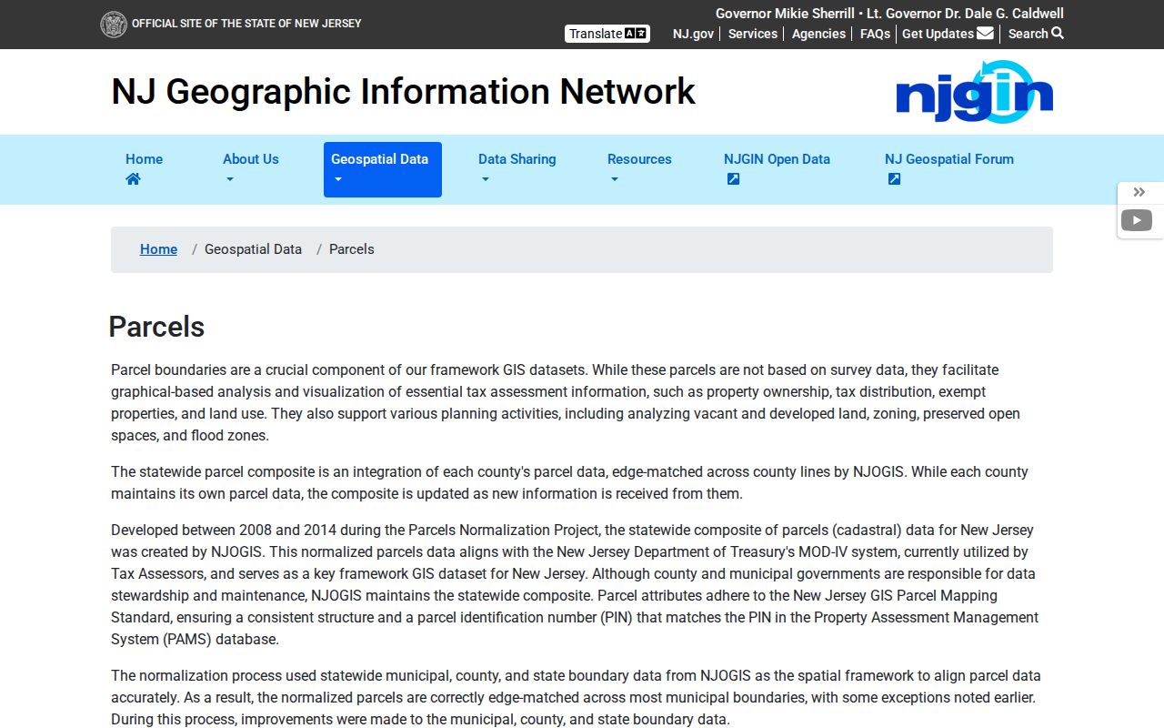
This Union neighbors image supports a map-first block question, where geometry remains useful even when a protected owner field is unavailable.
Union Neighbors Tax Context
The Union Township Assessor maintains Union ownership and mailing information, assessments, dimensions, tax maps, deductions, and appeals material. No public municipal interactive owner/address search was located. For a correction about a Union property record, the municipal office is the appropriate route. A mailing address is not the same as the parcel’s situs address, and an assessment record is an administrative snapshot rather than proof of who lives at the property.
The Union Township Assessor provides the office responsibilities and contact route. It is the local office to ask about a tax-map or assessment issue, not a tool for assembling a block list.
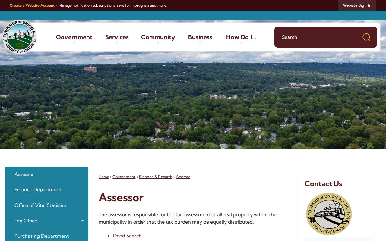
The Assessor image establishes the local correction channel when a Union neighbors map raises a parcel or assessment question.
The New Jersey Property Tax Transparency interface can provide annual owner/location, block/lot, assessment, taxes, and classification fields where public and available. The state warns that changes after the January certified list may not appear. Capture the tax year and distinguish any annual record from a current property condition.
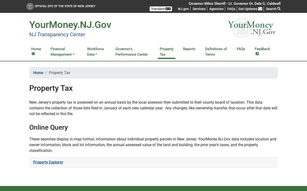
Its annual-data framing helps compare parcels by documented tax context without converting them into a directory of current neighbors.
Union Neighbors Polling Areas
Parcel and election layers answer different questions. A Union block and lot locate land; a Union ward and district define election administration. Union County’s map layers make it possible to compare the two, but neither layer creates a public resident roll. The official state voter-status service is an exact-name registration check, and its live form returned a 403 during research. Exact public fields should not be promised until the live interface is verified.
The Union County polling-place workflow begins with ward and district. Use it to confirm a public civic boundary or polling location, keeping the election date beside any result. It should not be used to infer who lives at adjoining parcels.
Union Neighbors Civic Leads
Community organizations can add public context to a place, but they are not membership directories. Union Public Library community-resource material identifies the Union Township Historical Society, Union Rotary Club, Elks, Knights of Columbus, and other local organizations. The Township Business Services material identifies Union Center resources. No official complete neighborhood-association roster, boundary list, or public membership list was found.
Use an organization as a source-dated lead for a public event, place, photograph, public notice, or historical article. Do not infer that a person belongs to an organization from a street address, an organization’s mailing address, or a nearby parcel. The public record question remains, “Which source describes this place?” rather than “Who is on this block?”
| Public Union civic lead | Useful block context | Limit |
|---|---|---|
| Union Township Historical Society | Artifacts, photographs, manuscripts, published works, and local building history. | No full online catalog or household roster. |
| Union Rotary Club | A dated civic event or public notice when an official source is available. | Do not treat a public mention as membership evidence. |
| Elks and Knights of Columbus | Public organization or event context. | No private roster or address inference. |
| Union Center resources | Public place and municipal business-resource context. | Entity location is not a private home location. |
Union Neighbors in Historic Maps
Union’s historical map titles make a block easier to read over time. The Digifind collection includes 1904 property material, the June 1920 Laurel Heights Vaux Hall map, the 1928 Maplewood Park Development Corp. map, a 1970 township map, subdivision sheets, and a Union Township Sanborn item. A title can identify a subdivision or older street form. It does not prove a build date, occupancy, or continuous ownership without supporting records.
Historic spelling matters. “Vaux Hall” appears in map titles, while current addresses use “Vauxhall.” Preserve the source spelling and the source date, then test the term in a deed, directory, or newspaper. The Union Register, Union Leader, and Local Source archives can supply dated public context across their respective runs, with gaps between titles.
The Union Public Library map collection is the source for these subdivision and Sanborn leads.
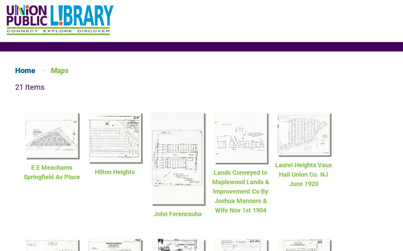
This Union neighbors image supports a historical block study while keeping the conclusion tied to the map’s date, legend, and item details.
Union Neighbors Source Differences
Official systems identify the record, date, agency, and access limit. Commercial neighbor-search categories may combine old directories, marketing records, and other sources into a single display, which can blur dates and source boundaries. For a family-history, property-curiosity, or civic question, retain the official source link and the record date instead of relying on a compiled profile.
| Source type | Strength for a block question | What needs checking |
|---|---|---|
| Official parcel, deed, or civic layer | Provides a named custodian, record purpose, and date context. | Redactions, update cycle, legal limits, and whether it proves land rather than occupancy. |
| Historical library map or directory | Provides a dated view of a street, subdivision, or prior household lead. | Exact item, page, missing years, and the difference between a snapshot and a current fact. |
| Commercial neighbor-search category | May offer a starting phrase or location hint. | Accuracy, source date, provenance, and whether the information is still public or relevant. |
Note: A source without a custodian, item date, or clear record purpose should not settle a Union block question.
Union Neighbors Privacy Limits
New Jersey public-record access is field-specific. Union parcel geometry, Union tax context, deeds, voter records, and civic information each have different publication rules. Daniel’s Law can suppress primary and secondary addresses and related identifying data for protected people in state-hosted parcel products. The Address Confidentiality Program can provide an eligible participant with a legal substitute address. Respect either protection without trying to fill its gaps.
OPRA can require redaction of protected information, including phone numbers, identifying information for minors, protected addresses, and sealed or confidential material. Ask a custodian for an identifiable existing record, then preserve the agency’s redaction decision and route corrections through that office.