
Mapping Union ZIP Codes
Postal geography around Union has two strong local anchors: 07083 for Union and 07088 for Vauxhall. Nearby Kenilworth, Maplewood, and Elizabeth postal places are research leads for individual boundary or delivery overlaps, not blanket Union ZIPs. The correct question is always whether a particular complete address receives a particular postal response and falls within a particular municipal boundary. A ZIP code directory is therefore a verification tool, not a list of people or a substitute for the Union County tax map.
| ZIP | Areas Covered | Post Office | Notes |
|---|---|---|---|
| 07083 | Union core postal identity | Union Post Office, 1130 W Chestnut Street | Use a full address to confirm street range and postal format. |
| 07088 | Vauxhall core postal identity | Vauxhall postal place | No current retail facility was confirmed in the research; verify servicing details and street ranges. |
| 07033 | Kenilworth delivery lead | Kenilworth Post Office | Possible boundary overlap to test by address, not a blanket Union ZIP. |
| 07040 | Maplewood delivery lead | Maplewood Post Office | Possible boundary overlap to test by address, not a blanket Union ZIP. |
| 07208 | Elizabeth delivery lead | Elizabeth Post Office | Possible boundary or delivery overlap, not a blanket Union ZIP. |
Preserve uncertainty when a street range was not captured. The research did not establish complete Union street coverage for the last three rows. Mailing city, service location, township boundary, ward, and tax jurisdiction are separate facts that can agree or conflict for the same address.
Union Postal Delivery Areas
USPS ZIP Lookup is the authoritative first stop for deliverability and standardized postal wording. It warns that a ZIP result does not confirm that a person or company is at the address. That warning matters when a name and street appear together in a historical source. Save the complete street, city, and state submitted to USPS, along with the returned ZIP, postal city, ZIP+4 or delivery detail when supplied, and the lookup date. A public-facing record should usually omit ZIP+4 and unit detail unless there is a clear reason to publish it.
The USPS AIS Viewer adds a City/State/Delivery Type reference and a City/County/ZIP/Post Office reference, along with Address Lookup and County Name Retrieval. It is updated monthly and is not an exportable resident list. Use USPS to standardize directionals, suffixes, postal city, and delivery conventions. Use county GIS and municipal tax sources to answer a different question: which government geography contains the parcel.
Note: Postal delivery confirms a mailing format, while municipal and tax tools confirm geographic jurisdiction.
Union ZIP Lookup Fields
Only use inputs that the research captured from USPS. The service has a By Address route, a By City and State route, and a Cities by ZIP route. The first route is the right choice when an exact Union address is available. The other two help test postal labels, but neither establishes municipal limits or who lives at a location. Retain the user-entered form rather than silently replacing a historic spelling or a directional suffix.
| Field | Type | Required | Options and Format Notes |
|---|---|---|---|
| Company | Text | Optional | Available in the By Address route |
| Street Address | Text | Required for address mode | Submit with city and state |
| City and State | Text and select | Required for address mode | Also supports a City and State search route |
| ZIP | Text | Required for Cities by ZIP mode | Returns cities associated with the postal code |
USPS gives the postal answer. Record the returned city and delivery information if the official result supplies them, then take the exact address to the county mapping or tax layer for a municipal answer. Do not add unverified live field labels from a blocked or changed interface.
Locating Union Residents by ZIP
A ZIP can narrow an address question, but it is not a verified Union-wide person filter. The research did not capture an official municipal address or owner search form, and NJGIN's live labels were not text-accessible. The voter-status interface also could not be captured and should remain a status check rather than a ZIP-wide roll. Use a full address to validate postal geography, then locate its parcel and public record context. Once the address has been narrowed to a street, the methods in the Union streets reference provide the address-focused record trail.
Election geography is a separate check. The Union County polling-place workflow begins with ward and district, then returns a polling place and links back to the state registration tool. A ward or district can help document civic administration for a parcel, but it should not be replaced with a ZIP label. The Board of Elections' request materials also carry their own access and redaction rules. Research did not verify a ZIP-based voter-field search, bulk format, price, or delivery schedule, so none should be assumed.
- Submit the complete street address to USPS and retain the exact result date, postal city, and returned ZIP information.
- Check the same location through Union County's map layers or NJGIN, selecting Union County and Union Township when those controls are available.
- Record municipality, block, lot, ward or district, and any conflict with the postal response. These are geography fields, not proof of residence.
- Use the proper office or record series for the narrower question, such as a tax-map clarification, land record, or voter-status check. Do not turn a ZIP result into a directory of people.
A block and lot is often more stable than a postal label. It identifies land within the tax-map system, while the ZIP is built for mail delivery. Keep both, but do not substitute one for the other.
Union Parcel Geography
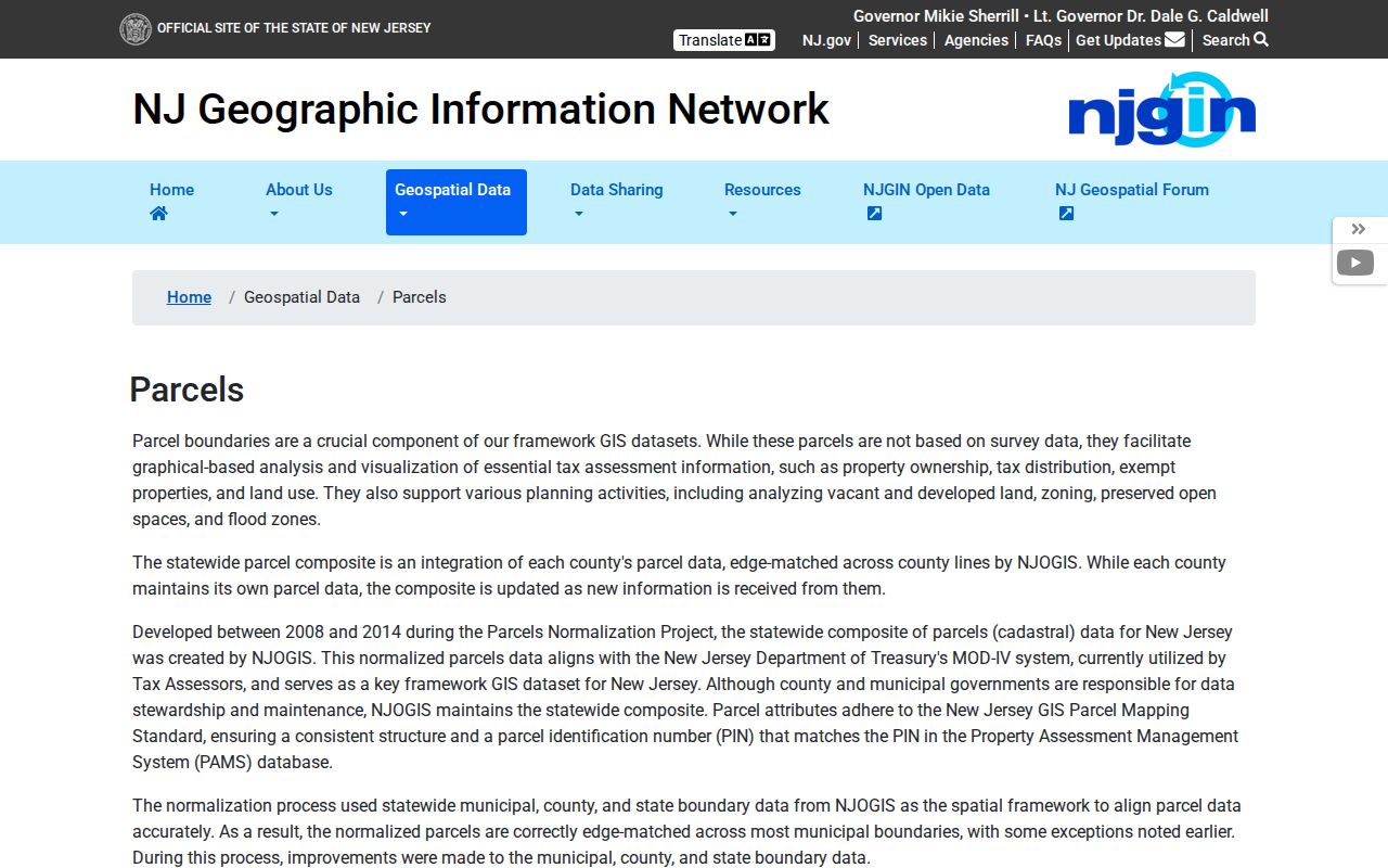
NJGIN's parcel documentation identifies address, county, municipality, block, and lot as Property Explorer search dimensions. The statewide composite is assembled from county data, and the county remains the parcel steward. Its PAMS PIN can join county, municipality, block, lot, and qualification when the record supplies those values. A polygon is not a legal survey. A tax owner is not automatically an occupant. A mailing address is not the same thing as the situs, or physical parcel location.
The NJGIN interface had no text-accessible live result card during research. That gap matters. Capture a current official result visually before stating that a particular field appears for a particular Union parcel. When a result is available, retain the address normalization, municipality, block, lot, qualification, PAMS PIN, map date, redaction status, and only the assessment or source fields actually shown.
The NJGIN parcel page documents the official property-search dimensions and the redaction context.
Parcel tools locate land and civic geography. They should not be used to fill a protected owner field or to claim current occupancy.
Union ZIPs and City Limits
A ZIP boundary is not a Union city limit, ward, tax jurisdiction, voting district, or proof of residence. The Union County Public Map Service includes municipal wards and districts, polling places, roads, parcels, blocks and lots, zoning, and tax-map attachments. Those layers let a researcher test municipal and civic geography after USPS returns the postal label. They do not convert a delivery area into a municipal boundary.
When fields disagree, keep the conflict rather than forcing a match. A useful inventory lists submitted street, city, and state; returned ZIP or ZIP+4; postal city; county if supplied; delivery point or type if supplied; USPS date; GIS municipality; ward or district; tax block and lot; and the unresolved conflict. ZIP+4 and unit-level details should usually stay out of a public directory. They are verification details, not a reason to expose more location data than needed.
Boundary check. A Union postal label can be valid while the parcel, ward, district, or tax record requires a separate county-level confirmation.
Union Vaux Hall Names
Vauxhall is a useful local spelling test. Current addresses use “Vauxhall,” including the library branch, while historic Union map titles include “Vaux Hall,” such as Laurel Heights, Vaux Hall and Vaux Hall Terrace. Search both forms when a directory, map, newspaper, or deed does not match a modern postal phrase. Preserve each source's spelling and date instead of treating the forms as an error to be erased.
This comparison also shows why a ZIP code alone cannot settle local geography. A historic map title, a current postal city, a municipal boundary, and a parcel identifier may each describe the same general place from different systems. Match them through street, block and lot, date, and source. The old spelling is a lead for historical research, not a second municipality or an address confirmation.
Note: Retaining both Vaux Hall and Vauxhall prevents a historical search variant from being lost during address normalization.
Union ZIP Privacy Limits
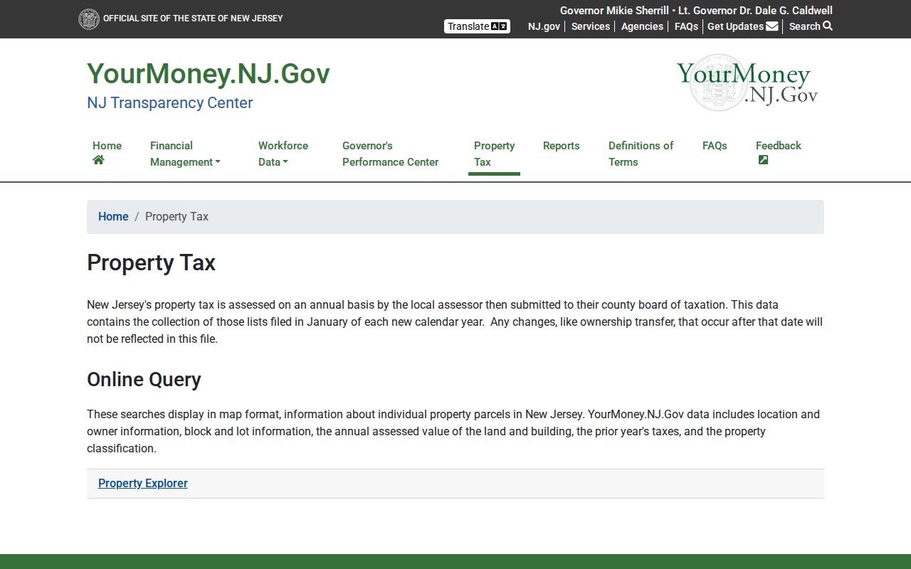
New Jersey's public-record rules apply to the record and field, not to an imagined ZIP-based profile. NJ Property Tax Transparency can provide annual data such as location or owner fields, block and lot, assessed land and building value, prior taxes, and classification. Its certified-list timing can omit later changes. NJGIN warns that Daniel's Law redacts owner names from hosted parcel products, downloads, map services, and applications. A redaction is a privacy control, not an invitation to trace a protected identity through unrelated records.
The NJ Property Tax Transparency page describes the annual statewide property-data route.
Annual assessment context can help compare parcel records by tax year, but it does not prove current occupancy, delivery, or a person's residence.
Use postal, GIS, and tax information for a legitimate personal research purpose. Do not use any record to stalk, harass, threaten, or harm another person.